Iver - Taplow - West Drayton (54 km)
A fairly short ride taking in the sights of Windsor and Eton before venturing into the countryside, with an option to shorten the ride to 46 km by returning through Burnham Beeches.
I rode this route in the first week that the Elizabeth Line trains started to run between Abbey Wood and Reading, through the tunnels below Central London. Why do I mention this? Because the Reading trains no longer stop at Iver; at the time of writing, there’s a half hourly service to Reading and a half hourly service to Maidenhead, stopping at Iver. Be sure to get the correct train!
Iver station has one toilet for all users; it’s spacious enough to take a bike as well as the rider.

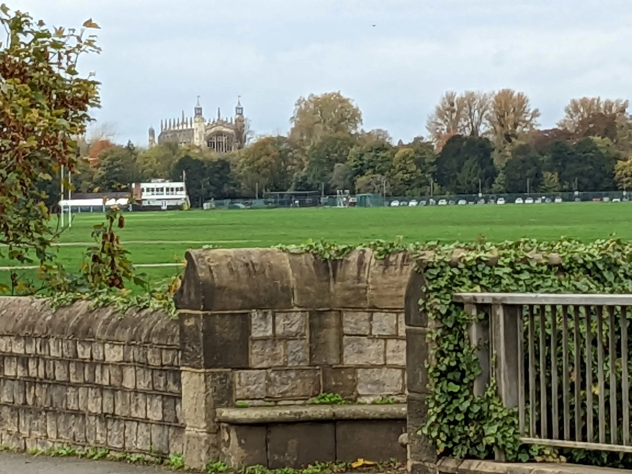
Leaving the train at West Drayton
Having failed to take the correct train myself, I left the Reading train at West Drayton and decided to ride from there. For fastest access to the lift at West Drayton, make sure that you are in one of the first two coaches.
From Iver station, it’s a short ride to Parlaunt Road and a left turn at traffic lights into Langley High Street. As you approach the A4, make sure that you are well inside the markings for the right hand lane because there’s a filter for traffic in the left hand lane. Passing a hotel on your left, you are soon on Riding Court Road with the M4 motorway on your left. This road is generally quiet with very little traffic from the Botanica office complex. The road climbs to cross the M4, bringing you to a right turn at a small roundabout and then into Datchet village.
Just want the route without words or photos? It’s here, below:
Route map for Iver Taplow West Drayton 55 Km on plotaroute.com

Datchet Village with cyclist on a Brompton
The route takes you left between half timbered buildings into High Street and across the railway to a right turn by Kris Cruisers at the junction with Windsor Road. The river Thames is on your left; if you have time for sight seeing, there are good views of Windsor Castle (to the left) and the chapel of Eton College (to the right) from Victoria Bridge over the Thames and along King Edward VII Avenue as you approach Windsor.

Turn right at the traffic lights into Thames Street to cross the river into Eton and turn immediately left into Brocas Street: the High Street is one way (towards you). Following the road , bear left by a car park on to Meadow Lane; here you are on the NCN4. Just before the railway bridge turn right the cycleway towards Slough.


After a very short distance I met another cyclist who was taking photos of buttercups which are - or were - a rarity in November. He told me that he had met someone in the pub the evening before who was convinced that climate change was a Government scam; neither of us could understand this attitude; as I had unlocked my phone to take a photo, I received a notification that the previous night had been the warmest on record. A little further I met a family, toddler, mother and grandmother. I asked them if the girl had found buttercups (she was exploring other flowers) and we talked briefly about our concern over climate change and what it would mean for us and particularly for children as they grow up in a rapidly warming world. I took a photo (at a respectful distance, I trust) as they walked towards Windsor and I continued in the opposite direction.
The route meets the B3026, Eton Wick Road with the option of riding on a cycleway alongside the road all the way to Eton Wick. I chose this option to check that it would be suitable for a ride with young children. There are some tree trunks with really interesting bark patterns along this section, making a 5 km “there and back” ride from Windsor for anyone with young children starting to venture outside their local area.

Left into Court Lane; the garden centre with cafe is an optional stop
Riding on through Eton Wick and the Dorney village, turn left into Court Lane; for me it was too early for a coffee break but the garden centre and cafe at Dorney Court is an option.
The route bears right into Marsh Lane, continuing for 3 km to cross the A4 at traffic lights: right and immediately left under a railway bridge into Station Road. Taplow station is on the left, in Approach Road. It has been modernised, with the addition of a lift and upgrading of toilets and waiting areas, but still retains its original charm. For me, the biggest benefit from the management by TfL is that it now has a service on Sundays, making it a great place to start a ride.


Poplar Farm, Hitcham Road
Our route turns right into Institute Road and left at the end into Hitcham Road. I’m always intrigued by the way that some farmers make use of buildings that seem to be at the end of their lives. Poplar Farm on the Hitcham Road is a good example. As I’ve led this ride for Central London CTC, London based cyclists have been pleased and surprised to reach countryside so quickly from Taplow station.
Climbing Hitcham Road (quite gently), turn left onto Hitcham Lane; at the end, it’s a right turn into Hill Farm Road, then a right turn at a junction on to Cliveden Road to pass Cliveden Gages, a National Trust development for the over-55s. Shortly, I was passed by a grey VW van with the personalised number plate C 1 VDN as I approached the gates to Cliveden.

Cliveden Road leads into Heathfield Road climbing gently to the junction with Wooburn Common Road, where the route turns right and then left into Littleworth Road, passing a school before a right turn into Dorney Wood Road with a brown sign for Burnham Beeches. It’s a gentle descent to a left turn into Curriers Lane. The route turns left into Park Lane, with an option to continue straight ahead along Pumpkin Hill to take Lord Mayors Drive (just after the Estate Office buildings) through Burnham Beeches with its cafe and toilets. The map below shows how this option joins the main route in Templewood Lane.
Route map for Option Through Burnham Beeches on plotaroute.com

Left into Hedgerley Lane
I really enjoyed Park Lane with its tree cover; there were a few potholes but the lack of traffic was some compensation. Bearing left into Boveney Wood Lane, the route soon turns right into Abbey Park Lane which becomes Ship Hill as it climbs, quite steeply for a very short distance, to join the A355 dual carriageway. I normally avoid busy roads but it was actually quite easy to get across to the right hand lane to turn at the traffic lights towards the Beaconsfield Services.

Parked alongside Hedgerley Lane
Hedgerley Lane is marked as unsuitable for heavy goods vehicles. It’s a fairly quiet lane, quiet in the sense of having little traffic but it runs alongside the M40 for about 2 km. I was amused by a road sweeping lorry parked off the lane, although I could do without reminders of the “grim reaper”.

Old School Cottage, Hedgerley
Hedgerley has some interesting old buildings; Village Lane becomes the aptly named Village Hill. requiring lower gears for a short distance. It crosses Collum Green Road into One Pin Lane before a left turn into Mayflower Way. A left turn at the end of this road brings riders to Templewood Lane (where the optional ride through Burnham Beeches meets the main route).

From here the route crosses the Gerrards Cross Road at traffic lights, leading Stoke Common Road. This has a very bumpy section just before it meets Windmill Road for a left turn down into Fulmer Village. I’ve ridden through Fulmer Village and turned right into Alderbourne Road many times but never noticed the inside of the red phone box. It was only because I was taking photos to show the turn that I looked inside the phone box and was surprised to see it equipped with buttons A and B which I remember from the mid 1960s. The box was locked to preserve it for the next film. Readers who are not “of a certain age” may wish to “google” buttons A and B!

River Frays along Old Mill Lane
Alderbourne Lane meets Hawkswood Lane on the left; the route turns right, still on Aldberbourne Lane. Parts of this lane have been resurfaced recently (during 2022); there’s a short, sharp climb of about 10%, after which the lane meets Pinewood Road to pass the film studios. A left turn into Pinewood Green leads through housing to the A412 where the route turns left, then almost immediately right at a roundabout onto Bangors Road North, then Bangors Road South into Iver Village. A left turn onto the High Street leads through the village to a small roundabout where the route continues straight ahead over the motorway towards Uxbridge. Shortly after crossing a bridge over the River Colne and with the West London Industrial Park on the left, the route turns right into Old Mill Lane.
At the end of Old Mill Lane, the route turns left along Packetboat Lane, crossing the Grand Union Canal and meeting High Road, the A408, which is dual carriageway subject to a 30mph speed limit. It’s only a short ride to the traffic lights where the route continues straight ahead into Yiewsley High Street and over the canal again to West Drayton station.